
Yorba Linda Neighbors: Block Sources Compared
No single public list answers every question about a Yorba Linda block. The most reliable approach is to match the source to the fact being tested, then stop when the source reaches its limit. A parcel map shows geography. An assessment card may show an APN and ownership field. A recorder index identifies parties to a recorded instrument. A community contact can be voluntary context, not a member roster.
| Source | What It Shows About a Block | Access |
|---|---|---|
| City GIS, Map Yorba Linda | Nearby parcels, street geometry, service, district, and hazard context | Free, informational, noncommercial map |
| Assessor maps and cards | APNs, parcel boundaries, situs, mailing, and assessment fields where displayed | Web link or public counter |
| Recorder index | Recorded parties for each identified parcel and transfer date | Free index; copies are paid |
| Approved voter extract | Registered voters by geography only for a qualified statutory purpose | Application, ID, fee, and use restrictions |
| Permit and planning files | Projects and named applicants on nearby addresses | City office, counter, or CPRA request |
| Public association contacts | Voluntarily published officers or contact points | Organization or city pages; no private roster |
Owners are not the same as occupants, and an occupant is not necessarily every member of a household. The map and assessor layer can locate a parcel. RecorderWorks can connect that parcel to a recorded party after a name search. None of those steps should be written as a full list of households on the block.
Note: A block result is strongest when an APN, source date, and legal custodian are recorded beside the name or parcel clue.
Click Adjacent Parcels for Yorba Neighbors
The verified Yorba Linda GIS method is a map walk, not a radius claim. Open Map Yorba Linda, search the target address, and zoom until the parcel and street geometry are legible. Click the target, record the APN and active layer context, then click each visibly adjacent parcel. The landing page does not document an official buffer or radius tool, so a fixed-distance neighbor list should not be promised.
- Enter the address or place and select the suggested result when the map offers one.
- Turn on the needed service, district, or hazard layers without changing the map scale.
- Click the target parcel and note the map position, APN context, and fields shown.
- Click visibly adjacent parcels one at a time and preserve the same layer and scale.
- Carry each APN into the assessor and recorded-document workflow for separate verification.
Map Yorba Linda is an informational Yorba Linda map and is noncommercial. Its published warning says it is not a title search, survey, appraisal, or formal zoning verification. A clickable shape can orient a search, but it does not establish ownership or residency.
When the question expands from the few parcels next door to a whole named road, use the Yorba Linda street records walkthrough for the broader address chain.
Yorba Linda Neighbor APNs and Assessment
The Yorba Linda Orange County Assessor page links to property information, parcel maps, and the ParcelQuest service. Search by address when the tool permits it, then preserve the APN and situs before comparing nearby parcels. Parcel maps can be reviewed or purchased at the public counter, and Yorba Linda assessor information is also available at 500 S. Main Street, 2nd Floor, Orange. The county mapping and service terms can vary, so verify a web result with the Assessor.
- Address or situs
- Physical location used to find the parcel, with street suffixes normalized as the service instructs.
- APN
- Strong parcel key; preserve punctuation and leading zeros.
- Owner or assessee
- Ownership presentation may depend on the linked service; do not promise a public name search beyond the displayed capability.
- Mailing address
- Tax correspondence destination that can differ from the parcel situs.
- Assessment and characteristics
- Land, improvements, totals, and available parcel facts, not a household list.
A matching Yorba Linda mailing and situs address can support an owner-occupancy question, but it does not prove it. A different mailing address may point to a trustee, owner, or contact location. Non-owner household members, utility customers, and delivery recipients are not supplied by the assessor card.
RecorderWorks for Yorba Linda Neighbor Records
Yorba Linda RecorderWorks is party-keyed, so the APN and current vesting name from the assessment step come first. Search a grantee or grantor, narrow by recording date, and record the document number or older book, page, and instrument reference. The Yorba Linda public web index covers 1982 to the present and does not display the recorded image. A hit identifies parties to an instrument, which may include owners, trustees, lenders, or entities.
The Orange County official-copy instructions explain how a Yorba Linda index hit becomes a document request. Copies cost $1 per page plus $1 certification per document or map. Mail requests need a self-addressed stamped envelope and a check payable to County of Orange, sent to 601 N. Ross Street, Santa Ana, CA 92701. The recorder’s phone is 714-834-2500, but staff do not perform the search for the requester.
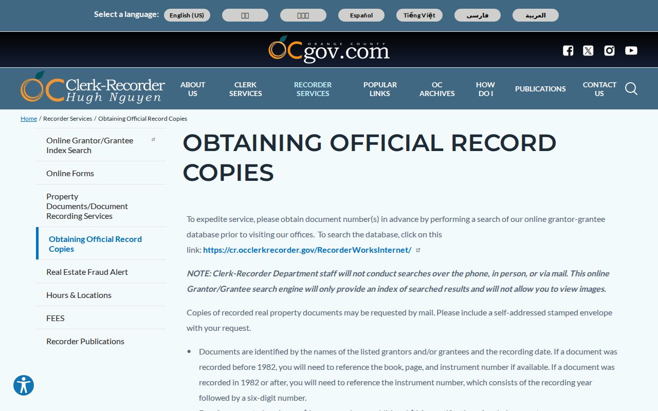
The Yorba Linda copy-instructions image shows the handoff from a free index result to a paid record copy. It does not turn the recorder index into a current neighbor roster.
For a block, repeat the process for each identified parcel and keep each legal description separate. Similar names or adjacent APNs should not be merged without a matching document and date context.
Yorba Linda Voter File Limits
The Yorba Linda Orange County Voter Lookup Tool is a self-service election tool, not a public name-and-address browse. It can confirm a voter’s own election information and related authorized results. The county’s data application route and the 2025 voter-data application set a different standard for approved extracts.
Elections Code §§2188, 2194, and 18109, Government Code §7924.000, and 2 CCR §§19001–19013 limit release and use. The Yorba Linda application calls for identity and contact information, purpose, supporting documents, secure-storage details, end users, a wet signature, current driver-license or state-ID copy, and payment. Emailed or faxed applications are not accepted. A qualified requester may order a specified voter or approved geography, but there is no casual all-voters-on-a-block browse.
Safe at Home and other confidential registrations suppress protected addresses. Historical poll books or registration indexes should be sought through OC Archives and the California State Archives; exact Yorba Linda years were not located. Voter data misuse is also penalized under Elections Code §18109, so a block search cannot be treated as a general contact tool.
Yorba Linda Neighbor Labels Need Boundary Checks
Yorba Linda labels such as East Lake Village, Travis Ranch, Bryant Ranch, Vista del Verde, Kerrigan Ranch, Hidden Hills, Fairmont Hill, central Old Towne and Main Street, and Savi Ranch are useful local labels. They are not automatically parcel, city, HOA, school, utility, or postal jurisdictions. A neighborhood name in a listing or conversation should be tested against the city map, governing documents, and the service layer that answers the question.
East Lake Village also needs historical care. The original 83-acre Yorba Linda Lake was drained in 1969, while the modern neighborhood name reflects a later planned setting. Old Yorba Linda records may use a grove, road, ranch, or landmark that does not match a current subdivision label. Compare the date, parcel, tract, and map before joining two references. Savi Ranch is a commercial area, so business activity there should not be read as a household boundary.
Local quirk: the old Yorba Linda lake and the later East Lake name can look like one continuous place in a casual search, even though the landscape and development eras differ.
Comparison point: a Yorba Linda marketing label can help a searcher find the right map view, but only the relevant custodian can confirm a boundary or governing jurisdiction.
Yorba Linda Associations and Voluntary Community Contacts
Yorba Linda community sources can add context that official parcel records do not. They are voluntary and often private. Research found no authoritative citywide public HOA or neighborhood-association member directory, so no organization should be described as a required roster source. Ask only for a published contact point or a record the organization says it can share.
| Community source | Useful context | Access boundary |
|---|---|---|
| Yorba Linda Public Library local history | Named families, clubs, workers, photographs, and landmark changes | Free online; library reference help at 4852 Lakeview Avenue, 714-777-2873 |
| Friends Church and other congregations | Early townsite history and possible institutional context | Church registers are private; contact the congregation or denomination |
| Yorba Linda Woman’s Club | Early organizers and a club-building fire in 1976 | Association history may be available; current membership is private unless published |
| Yorba Linda Chamber of Commerce | Chamber history begins in 1913; public business contacts | Member directory identifies businesses, not households on the block |
| Neighborhood or HOA contact page | Voluntary officer or service contact when one is published | Verify governing maps; no assumed membership release |
These contacts help with civic history, a local event, or a voluntary way to introduce a question. They should not be used to infer a private member list from a public name, parcel, or club history.
Yorba Linda Block Permit Clues
Yorba Linda permit and planning files can show that work took place at a nearby address. The City of Yorba Linda lists Building at 714-961-7120, Community Preservation at 714-961-7138, and Planning at 714-961-7130. The city’s public-record route is appropriate when a stable online result does not expose the record. Name the address, project, date range, department, and document type so staff can locate an existing file.
- Building
- Permit applications, issued permits, project address, contractor or applicant evidence where public.
- Community Preservation
- Address-keyed code case material, subject to exemptions and active-investigation limits.
- Planning
- Applications, staff reports, subdivision maps, zoning, and annexation material.
- Public Works and Engineering
- Street, right-of-way, tract, and address context.
A permit applicant or contractor is not proof of who lived at the address. Treat the file as a project date and an address clue, then compare it with an assessor parcel, deed, newspaper, directory, or census record.
Yorba Linda Neighbor Privacy and Protected Addresses
Yorba Linda searches can encounter California’s Safe at Home program, which provides a substitute mailing address for eligible survivors and protected participants. The Secretary of State program helps explain why an official record may suppress a home address. Government Code §§6205 and following govern the confidentiality program. DMV personal data, utility accounts, delivery records, and private association membership are not ordinary public block sources.
The federal Yorba Linda identity-theft recovery service gives a person a way to respond when a name or address trail is tied to identity theft.
The federal recovery image belongs with a Yorba Linda personal safety response, not a parcel search. It points to help for a person whose identity has been misused.
California stalking is Penal Code §646.9. Public availability never licenses threats, surveillance, intimidation, or attempts to defeat a protected-address program. A lawful block lookup stops at the public record and respects a custodian’s redactions.
The U.S. Postal Inspection Service reporting route is the proper channel for suspected mail fraud or a postal solicitation tied to a neighbor question.
The postal-report image marks a safety and fraud channel. It is not an invitation to obtain delivery data or identify a private recipient.
Privacy and lawful use. Use public block records for civic context, family history, reconnecting, or personal safety awareness. Do not use them to stalk, harass, intimidate, or expose a protected resident.
Yorba Linda Neighbor Records Compared
Official Yorba Linda records and commercial matching tools are different kinds of evidence. Official custodians identify what a city, county, court, or agency holds. A commercial category may combine public and private inputs, use a different update cycle, and merge people with similar names. Neither category should be treated as proof without a source date and identity check.
| Source category | What it can add | What it cannot prove |
|---|---|---|
| City GIS and assessor records | Parcel shape, APN, situs, mailing or assessment fields where displayed | Every person at the address or current household status |
| Recorder index and copies | Recorded parties, document type, date, and legal description | That a grantee lived at the parcel or that every household appears |
| Approved voter data | Authorized geographic registration information for a qualified purpose | Casual public block browsing or ballot choices |
| Commercial matching category | A compiled lead that may join names, addresses, or public clues | Custodian-certified accuracy, current occupancy, or a complete roster |
| Voluntary community contact | Published officer, event, or organization context | Private membership, unlisted households, or required disclosure |
For a disputed record, return to the source office. A city map, assessor card, recorder index, voter application, or association contact has a different correction route. The source of a clue matters as much as the clue itself.
Report Block-Related Fraud Safely in Yorba Linda
A Yorba Linda block search can expose a scam as well as a parcel clue. Fake deed-copy solicitations, property-fraud claims, obituary-informed scams, and government impersonation calls should be checked against an independently typed official domain and published phone number. Immediate danger belongs with 911 or local public safety, not a web search.
The Federal Trade Commission fraud-reporting service is a national route for a suspected Yorba Linda scam or identity-related report.
The FTC image provides a report path for fraud. It does not identify a neighbor or validate a commercial name match.
For a business or consumer complaint tied to Yorba Linda, use the California Attorney General complaint route.
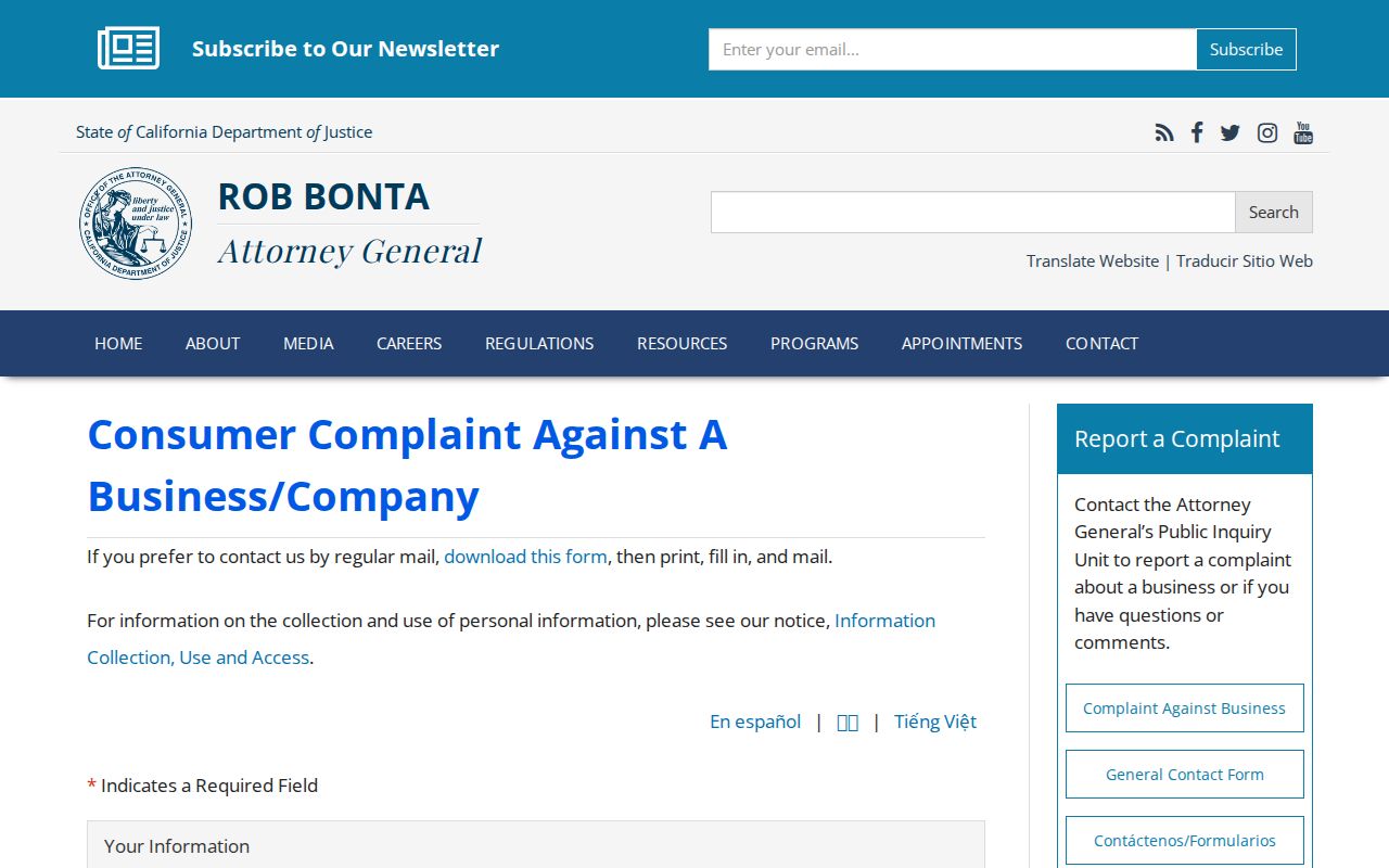
The state complaint image is a consumer-protection channel. Keep the dates, sender, official URL, and payment record that support the report.
Use the recorder’s published number for a deed-copy question, the City of Yorba Linda for a municipal record, and the Orange County election office for an authorized voter-data question. Separate reporting a scam from searching for a person.