
Trace a Yorba Linda Street Directory Record
A useful by-address search follows four keys in order: the postal or situs address, the assessor parcel number, the tract or legal description, and the name of an owner or recorded party. Begin with the city map for geography. Move to the Orange County Assessor for the APN and assessment clues. Then use the Clerk-Recorder index by party name, not by an assumption that the recorder keeps a resident roster. Historical directories and newspapers add household evidence after the current parcel trail is clear.
- Enter the address or place in Map Yorba Linda, select the suggested result, and note the surrounding parcel and service context.
- Use the Orange County Assessor property page or its ParcelQuest link to capture the APN, situs, mailing clue, and available characteristics.
- Search the current vesting name in RecorderWorks, trying grantor, grantee, initials, trusts, and name variants.
- Use the city permit and code-record channels for work tied to the address, while treating an applicant or contractor as a project clue, not a resident finding.
- For earlier households, ask Yorba Linda Public Library reference staff about reverse or criss-cross holdings, then pair a directory clue with a census, newspaper, deed, or obituary.
The sequence keeps an address search useful without overstating it. A parcel can anchor a search, but a person must be matched with more than a shared surname or an old address.
Map Yorba Linda Streets Before Searching
Map Yorba Linda is the best first stop when the address is unclear or a street segment needs context. Its search accepts an address or place through autocomplete. Layer checkboxes can show service providers, street sweeping, refuse, lighting and landscape-maintenance districts, water and sewer providers, and hazards. Zoom, pan, and click controls let a researcher hold the same view while checking nearby geometry.
The map is informational and noncommercial. It is not a title search, survey, appraisal, or formal zoning verification. A visible parcel shape does not prove who owns or lives there. Use the map to orient the street, identify the parcel to carry forward, and spot service differences that may explain why two addresses with the same postal city route to different public offices.
The city’s own GIS landing page supplies the clearest Map Yorba Linda source view for a parcel and street check.
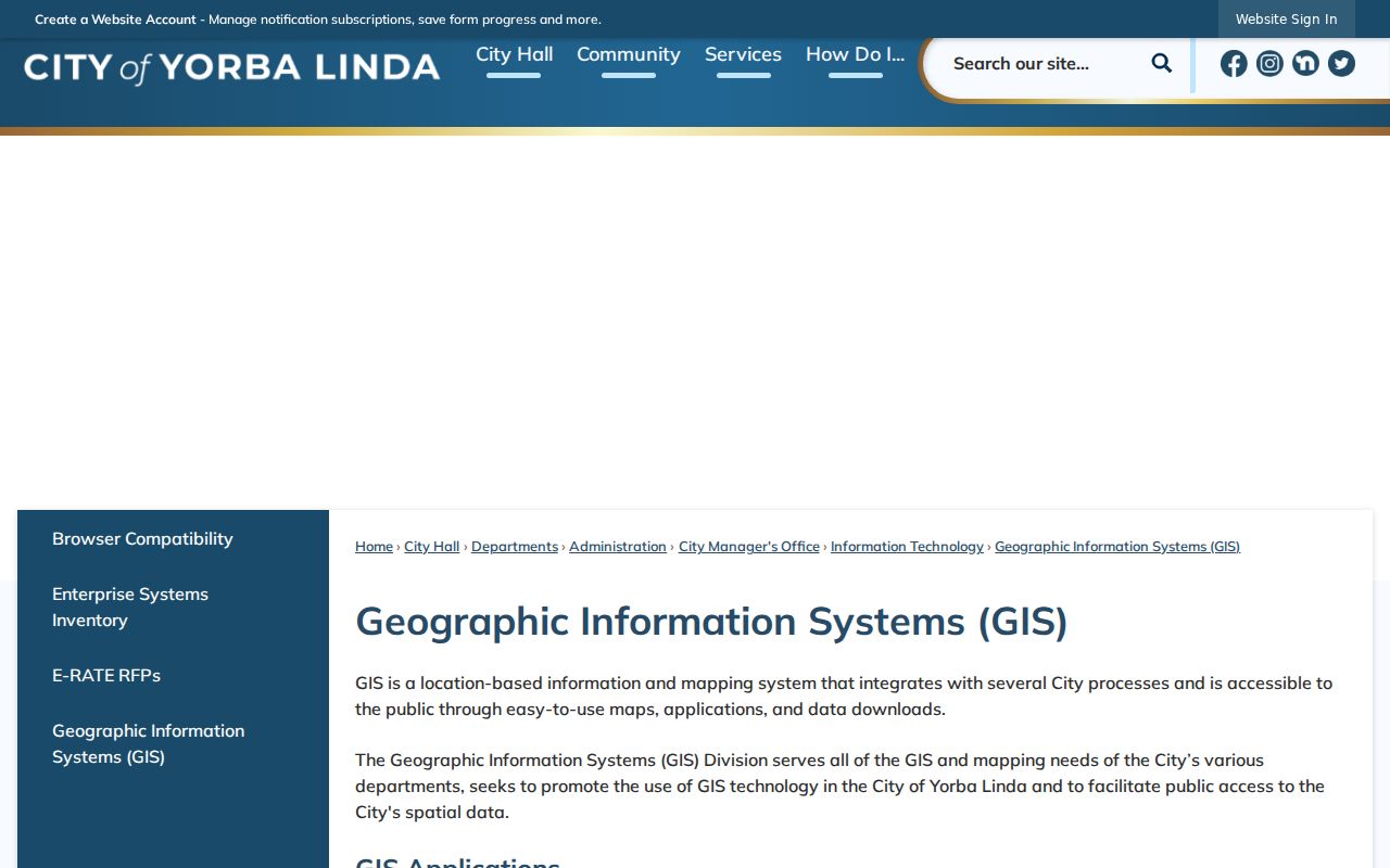
The map image belongs at the start of an address trail: it provides place and layer context, while the assessor and recorder supply different kinds of evidence.
Yorba Linda Assessor Fields by Address
The Assessor’s parcel maps show boundaries, dimensions, and the APN used for land-value assessment. The official property-information page links to ParcelQuest, but the public owner-name capability of that linked service was not verified. The safer promise is the field schema below, followed by verification with the county. Mapping questions go to 714-834-2758. The public counter is at 500 S. Main Street, 2nd Floor, Orange.
The Assessor’s parcel-map explanation shows why an APN is a stronger bridge than a street number alone.
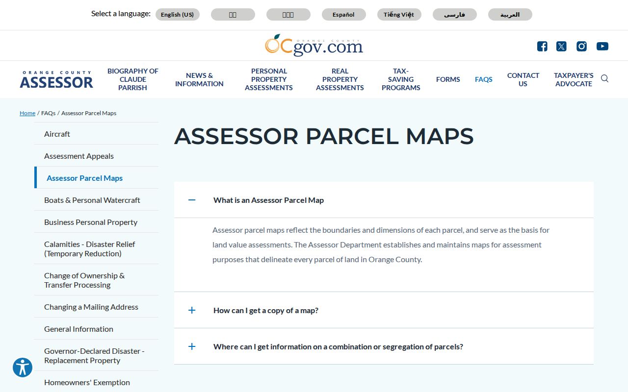
Use the parcel image as a map key, then check the live service for the current display and terms. An assessee or owner field is an assessment clue, not proof of resident status.
| Field | Type | Required | Street-search use |
|---|---|---|---|
| Address | Text | No | Normalize the street suffix and use the situs address. |
| APN | Text | No | Preserve punctuation and leading zeros as the portal instructs. |
| Owner or assessee | Search or result field | Varies | ParcelQuest capability varies and must be checked live. |
| City and ZIP | Filter | Varies | Can help separate similar streets when exposed. |
| Situs address | Result | Returned | Physical parcel location, not a mail destination. |
| Mailing address | Result | Where displayed | Assessment correspondence clue that may differ from situs. |
| Assessment values | Result | Where displayed | Land, improvement, and total assessment, not a sale price. |
| Characteristics and map link | Result | Tier-dependent | Carry the parcel into map and legal-description research. |
Yorba Linda Street Records by Address
The address-keyed record sets below answer different questions. The GIS locates. The assessor connects an APN to assessment data. RecorderWorks identifies parties to recorded instruments. City files show public project activity. Voter information is restricted and cannot be treated as an open street browse. A reverse directory may identify an older householder only when a real local volume is held and the entry is read in context.
| Record set | Keeper | What it can show | Access path |
|---|---|---|---|
| Parcel map and GIS | Yorba Linda GIS | Location, nearby parcels, service and hazard layers | Free Map Yorba Linda viewer |
| Assessor roll and map | Orange County Assessor | APN, situs, mailing, assessment, characteristics | ParcelQuest link or public counter |
| Deeds, liens, releases | Orange County Clerk-Recorder | Grantor, grantee, date, document type, transfer trail | Free index, paid copy after an identifier |
| Voter information | Orange County Registrar of Voters | Only approved or self-service election information | OC Vote lookup or restricted application |
| Permits and code files | Yorba Linda divisions | Address, work, applicant, contractor, dates when releasable | Online process, phone, counter, or CPRA request |
| Reverse directories | Library and historical collections | Past householder or address clues if a verified volume exists | Reference staff, microfilm, databases, archives |
For a whole street, work one parcel at a time. The APN ties assessment research to the deed’s legal description, while a street name alone can hide a split lot, corner parcel, private road, or changed rural description.
Separate Yorba Linda Situs and Mailing Clues
Address terms carry different weight in an address search. The situs is the physical location assessed by the county. A mailing address is where tax or assessment correspondence is sent. Matching values can support an owner-occupancy hypothesis, but they do not prove it. A different mailing address may belong to an owner, trustee, or other contact and says nothing certain about the household.
- Parcel
- A defined piece of land tracked by an APN for assessment and map purposes.
- Situs address
- The physical location of the parcel, even when mail goes elsewhere.
- Plat
- A recorded map that lays out lots, blocks, streets, easements, or tract features.
- Criss-cross directory
- A reverse directory that starts with an address or street and points toward a householder, when the volume includes that section.
These definitions prevent a common error: treating a tax card as a household list. The parcel record is strongest for land identity. Occupant evidence must come from a separate, lawful source.
Carry an APN Into Yorba Linda Deeds
RecorderWorks is party-keyed, so an address cannot be typed into it as if it were a complete resident roster. Start with the current vesting name, search the name as a grantee, and record the recording date, document number, type, and legal description. Then search the seller as an earlier grantee and compare the repeated legal description. Try names in the format LAST FIRST, along with initials, spelling variants, trust names, and business entities.
The Orange County official-record copy instructions explain how an index hit becomes a document request.
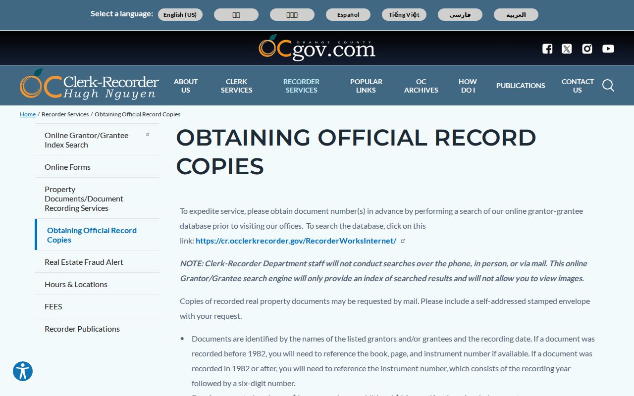
The image reinforces the handoff: the public web index is a lead, not the recorded image. A deed identifies parties to an instrument, which can include lenders, trustees, or entities rather than people living at the address.
Why Yorba Linda’s 1982 Cutoff Matters
RecorderWorks covers the online index from 1982 to the present. Its search fields include grantor or grantee name, beginning and ending recording dates in MM/DD/YYYY format, document number, book/page/instrument references, document type, and Search or Reset controls. A 1982-and-later number uses the recording year followed by six digits. The site is free to search, shows no public images, and asks the researcher to narrow a high-result search.
Older research changes method. Carry book, page, and instrument references to the Orange County Clerk-Recorder or OC Archives instead of expecting the web index to fill the gap. Copies are $1 per page plus $1 certification per document or map. Mail requests go to 601 N. Ross Street, Santa Ana, CA 92701, with a self-addressed stamped envelope and check; the office phone is 714-834-2500. Staff do not perform the underlying name search.
Yorba Linda Permits Date Property Changes
City permit records can add a date to an address history. Yorba Linda’s electronic permit process identifies HVAC, service-panel upgrades, EV chargers, gas or water repiping, like-for-like reroofing, photovoltaic systems, and water heaters among the eligible work types. Building can be reached at 714-961-7120, Community Preservation at 714-961-7138, and Planning at 714-961-7130. Those divisions can explain the right request route when an online result is not enough.
Initial electronic processing may take up to 10 city working days. Plan review and resubmittals may take up to 15 city working days. Applicants print, sign, and scan the forms; phone photographs are rejected, and American Express is excluded from card payment. The applicant or contractor is a project clue, not proof of who occupied the address. If a permit or code file is not posted, make a focused CPRA request naming the address, division, date range, and record type.
Yorba Linda’s Rural Address Puzzle
Street names carry a development history. Yorba Linda Boulevard, Imperial Highway, Bastanchury Road, Esperanza Road, La Palma Avenue, Lakeview Avenue, Fairmont Boulevard, and Rose Drive form major orientation corridors. Older rancho descriptions and agricultural lots later became tracts, private roads, and planned neighborhoods. No single verified citywide renumbering event surfaced, so a missing number should prompt checks of tract maps, APNs, legal descriptions, and historical newspapers rather than a confident renumbering claim.
Official Yorba Linda city maps add a second geography reference for street names, city-line context, and civic orientation.
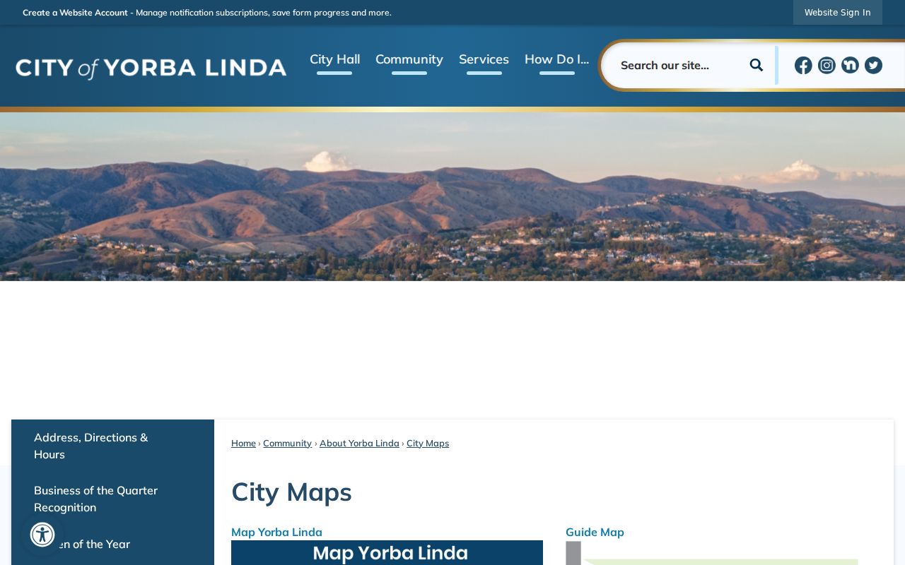
The city-map image helps compare a present street label with the parcel and service clues found in Map Yorba Linda.
The postal context matters too. USPS associates 92886 with central and western areas, 92887 with eastern hills and newer eastern tracts, and 92885 with a Yorba Linda-associated PO-box role. USPS ZIP Lookup should confirm an address before a by-address result is labeled by ZIP.
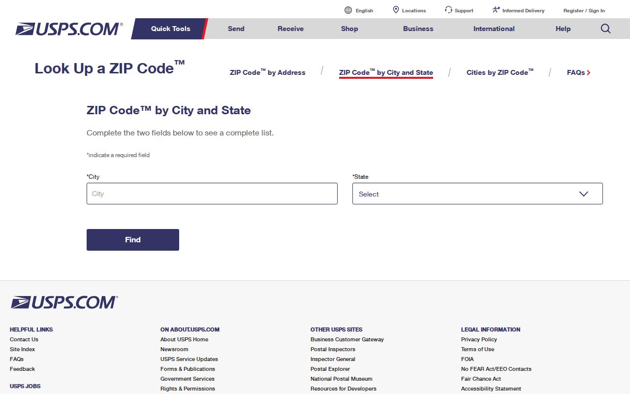
The postal image belongs after the geography check: a delivery ZIP helps route mail, but it does not replace the city boundary, assessor jurisdiction, or service-layer check.
Yorba Linda incorporated in 1967. An attempted Anaheim annexation in 1962 was rejected by voters in 1963. Those dates help explain why an old address can appear in county or special-district records before a city record, and why a postal place name is not the sole answer to a boundary question.
Yorba Linda Reverse Directories Need Care
A criss-cross directory can be the closest historical address match because it starts with the street. The available research does not verify exact Yorba Linda publishers, individual volumes, reverse years, or a local sample entry. Ask Yorba Linda Public Library reference staff at 714-777-2873 for shelf and call-number verification. The library’s local-history photographs, Yorba Linda Star material, licensed genealogy databases, and guide to broad-name searching can still supply strong context.
Read any period entry as a clue. Typical keys may include a surname and given name, spouse in parentheses, occupation, home address, “r” for residence, “h” for householder, “wid” for widow, and a business address. OCR can miss names. Browse nearby alphabetic images, try initials and phonetic variants, and compare the result with a census, deed, newspaper, or APN before calling it a match.
Why Yorba Linda Voter Data Is Restricted
The Orange County Voter Lookup Tool is a self-service election tool, not a casual street browse. It can provide a voter’s own election information and related district or ballot details. Historical instructions used date of birth and the last four digits of a driver license for verification, but the current authentication flow must be checked live. No ballot choices are released.
California Elections Code sections 2188, 2194, and 18109, Government Code section 7924.000, and 2 CCR sections 19001-19013 restrict voter data. A qualified data request needs applicant identity and contact details, an approved statutory purpose, supporting documents, secure-storage information, end users, a wet signature, identification, and a fee. The application bars harassment, marketing, unauthorized sharing, and unsecured public posting. Casual “all voters on this street” browsing is not an available route.
Use OC Vote’s self lookup only for the permitted purpose, or consult the Registrar’s restricted-data instructions and the 2025 voter-data application PDF. Protected-program addresses can be suppressed.
Yorba Linda Street Directory Limits
An address search cannot reliably list every person at a location. Renters, household members, guests, utility customers, delivery recipients, and people using a protected address may not appear in any public source. DMV address information is restricted by the Driver’s Privacy Protection Act. HOA membership and private association rosters are not public merely because a neighborhood name is known.
Lawful use. Address and parcel records support personal, lawful research such as family history, property history, or civic curiosity. Do not use them to stalk, harass, intimidate, or harm another person.
When a result is wrong, take the correction to the custodian that created it: the Assessor for roll data, the Recorder for its document procedure, the court for a docket or file issue, and the elections office for a voter record. A careful address search ends with source verification, not a claim that one database reveals a household.